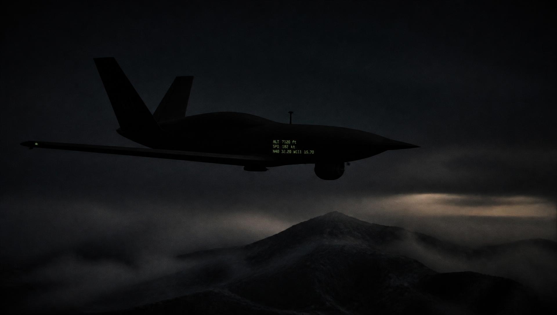
Defense & Dual-Use Autonomous Systems
Autonomy that doesn't blink
when GPS does.
Amaruz builds the software stack that lets unmanned aerial, ground, and maritime vehicles navigate, decide, and coordinate — even when GPS/GNSS is jammed, spoofed, or unavailable.
The problem
Modern unmanned vehicles depend on GPS/GNSS for navigation. In contested environments — electronic warfare, jamming, spoofing — that dependency becomes a single point of failure. A vehicle that can't navigate can't complete its mission.
Amaruz eliminates that single point of failure.
Three domains. One architecture.
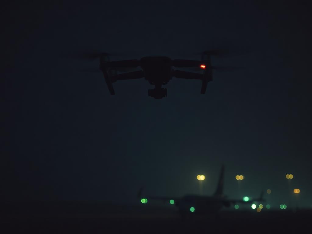
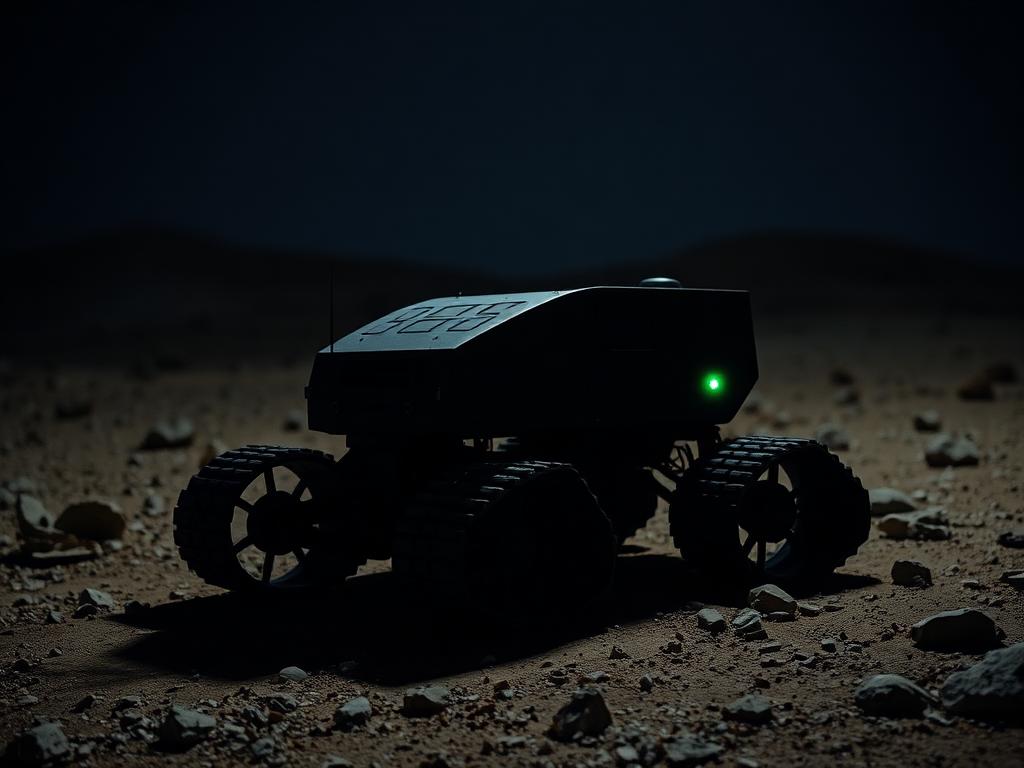
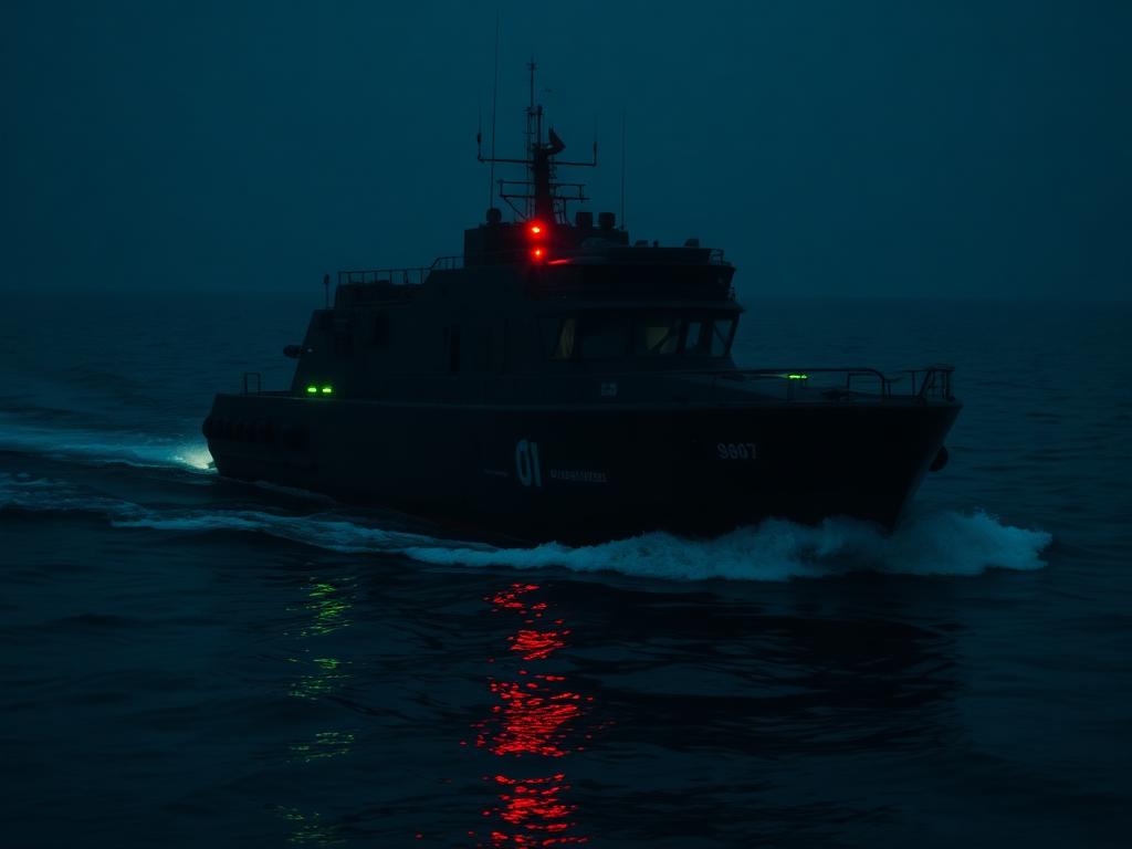
What we do
A modular autonomy stack, built in layers — each deployable independently or as a full system.
GPS-Denied Navigation
Sensor fusion, visual-inertial odometry, and SLAM-based localization that keep vehicles oriented without relying on satellite positioning.
Autonomous Guidance Systems
Mission planning, obstacle avoidance, and real-time decision-making that let vehicles operate without constant human control.
Hivemind — Multi-Vehicle Coordination
Coordinate fleets of heterogeneous vehicles — air, ground, and sea — as a single, unified system.
Command & Control Layer
A unified operating picture that brings sensors, vehicles, and human operators into one interface for mission command.
Why Amaruz
Multi-domain from day one
Air, ground, and maritime autonomy built on one shared architecture — not bolted together after starting in a single domain.
Built for contested environments
Designed specifically for GPS/GNSS-denied conditions, not adapted from consumer drone software.
Modular deployment
Customers can adopt a single layer — navigation, guidance, hivemind — or the full stack.
Dual-use by design
The same core technology that powers defense platforms transfers directly to mining, agriculture, and commercial navigation.
Markets we serve
Defense & Security
Armed forces, defense ministries, and prime integrators equipping unmanned fleets for contested, GPS-degraded environments.
Dual-Use Industrial
Autonomous navigation for open-pit mining vehicles, precision agriculture, and commercial maritime operations — sectors where GPS reliability is also a constraint, and downtime is costly.
How it works
Sense
Onboard sensors — visual, inertial, LiDAR — build a real-time picture of the environment.
Localize
The vehicle determines its position without GPS using sensor fusion and SLAM.
Decide
The guidance system plans and adjusts the mission autonomously.
Coordinate
Multiple vehicles share situational awareness through the hivemind layer.
Command
Operators monitor and direct the fleet through a unified C2 interface.